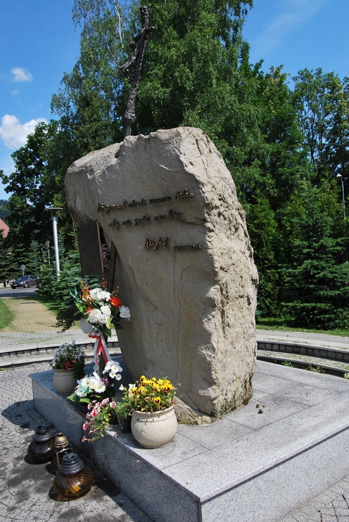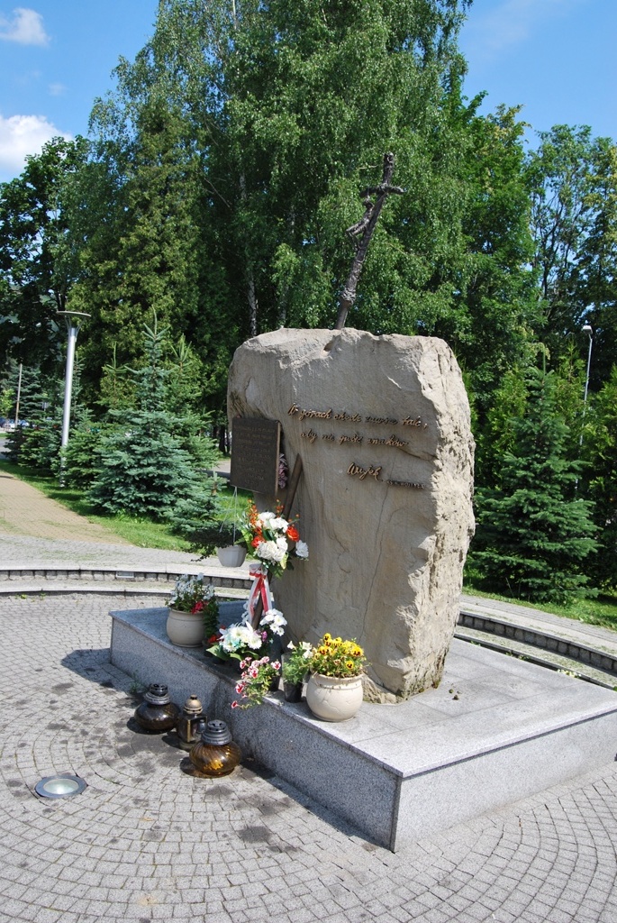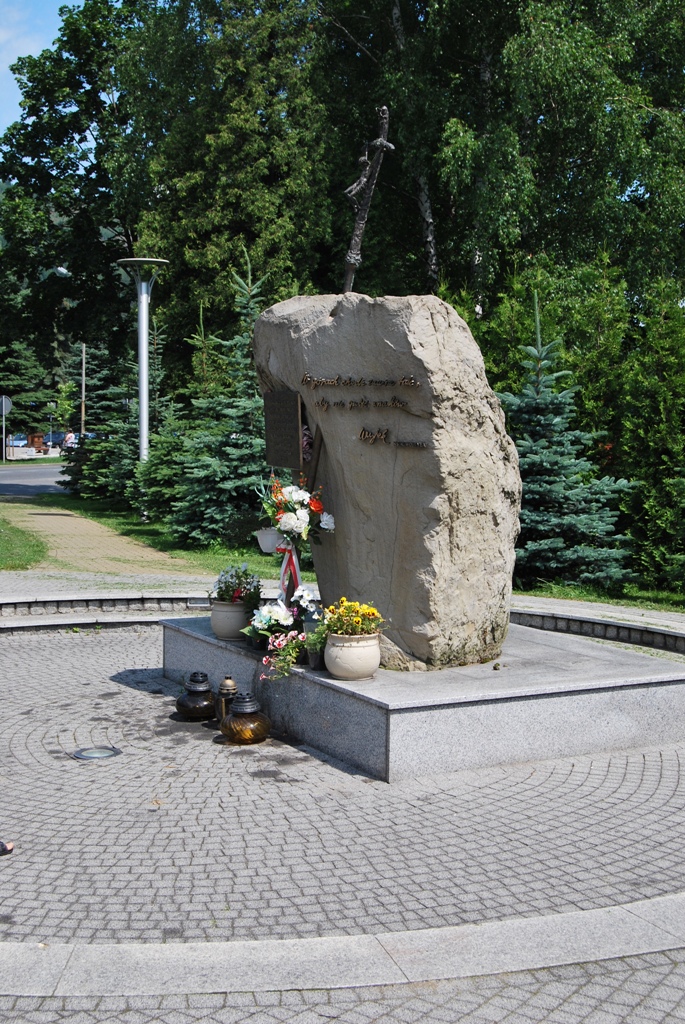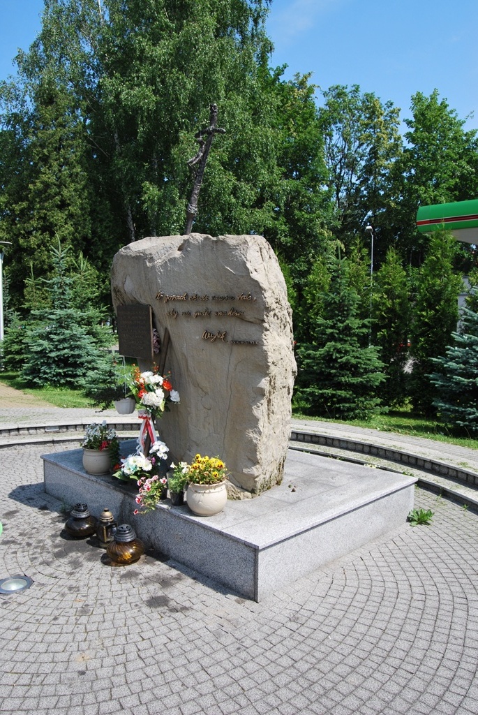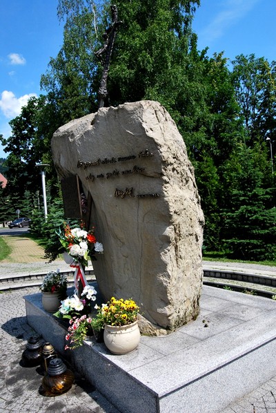
The John Paul II square in Węgierska Górka is located in the centre of the village in front of the Gmina Office building. There is a sandstone obelisk with a cross and a plaque that says: ‘When you walk the mountains, don’t get out of the trails. Uncle 12th , February, 1958’. (Karol Wojtyła) – To the greatest of Poles, the Holy Father John Paul II, the honorary citizen of Gmina Węgierska Górka from thankful inhabitants for the gift of your presence in our heart’ – the inhabitants of the gmina. 27 spruces of a noble variety were planted in the square – the symbol of 27 years pontificate - and the oak from the seeds sacred by the Holy Father – the gift from the Forest Range of Węgierska Górka.
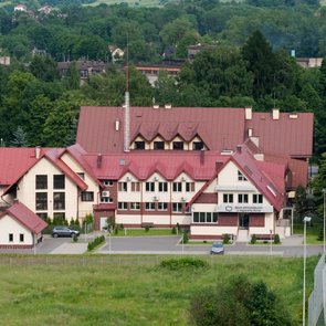
On 26th September, the square in the centre of Węgierska Górka was given the name of John Paul II. It was the first Papal Trail in Diocese of Bielsko-Żywiec. The ordinary bishop Tadeusz Rakoczy sacred both the square and the trail. The Papal Trail starts by the square in Gmina Węgierska Górka. The square is available for a whole year and can be used by handicapped people. The square is located in the centre of the village by the main road S69 from Żywiec to the border in Zwardoń. It is possible to get here by bus or train from Żywiec (stops are by the square). There is also the Katowice-Zwardoń train (the railway station is about 100 meters from the square). It is located in the centre of Węgierska Górka. There is the beginning of the Papal Trail 42 km long in Gmina Węgierska Górka.
Abramów – a mountain ridge in Lipowka and Romanka Group of Żywiec Beskids. It is located in the ridge that branches off Skała peak. The ridge runs from Abramów, Grapa (613 meters above sea level) and Bukowina (510 meters) and ends at the Soła valley in Węgierska Górka between the valleys of the Żabniczanka and the Cięcinka springs. At its highest point Abramów is 857 meters high above sea level. Its unforested peak is place with a wonderful view. From there, Abramów ridge runs further in the north-west direction.
The border of two villages runs along the Abramów ridge. The south-west hillsides belong to Żabnica while the north-west to Cięcina. The farmland of these villages reaches almost the peak of the Ambramów, therefore its mainly unforested. It was more unforested before. In the 19th century, the Żywiec Region was so overpopulated that fields were cultivated as far as the peaks of the mountains, especially those closer to the centers of villages. Cattle and sheep also grazed there. Since the former farmlands and fields (especially those located in higher parts) have not been cultivated and left for its own sake, they were overgrown by bushes and forest. It can be seen on the pictures taken from the plane on the Geoportal website.